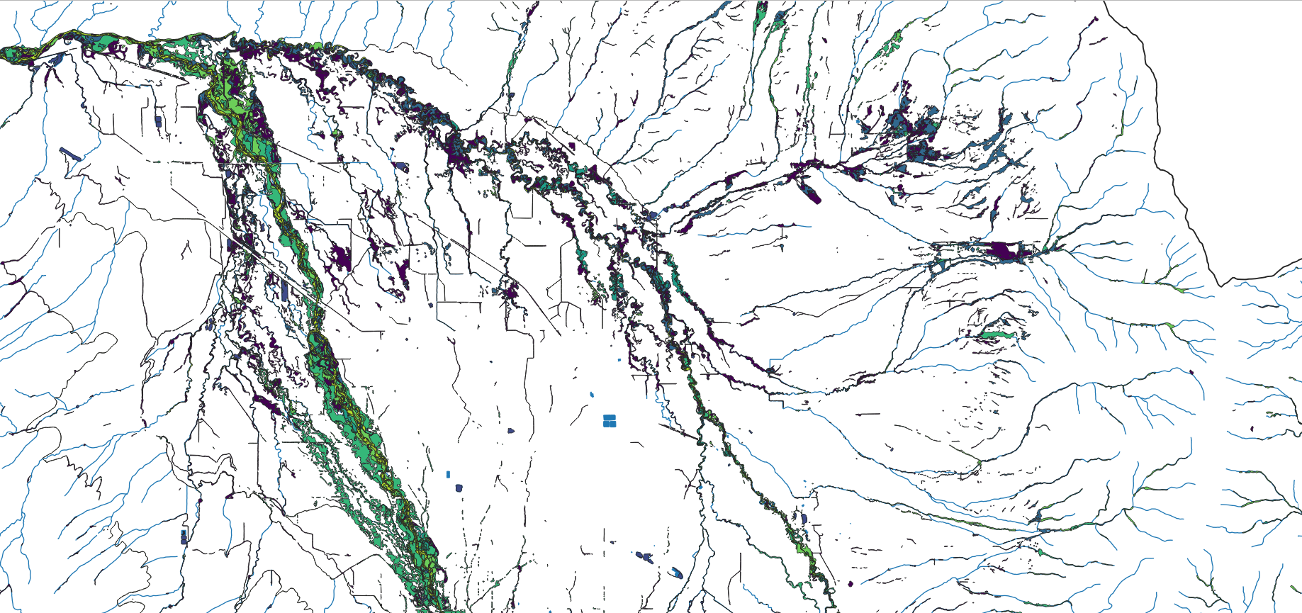
Partner Priority Map
This map illustrates where each of our groups are working within the Gallatin Watershed. Our work and our priorities often overlap. Use this map to learn more about what’s happening in our watershed and identify ways to integrate your work with the efforts of others.
How to use this map:
To open / close the legend, click on the double arrow in the top left corner of the map. Each layer can be turned on / off by clicking the check box to the left of the layer name. To see the symbology for each layer, click on the arrow to the right of the layer name.
To zoom in and out, center the pointer in the area you are interested in and use the scroll wheel on your mouse. Alternatively, click on the + / - buttons on the top left of the map.
To pan, click anywhere on the map and drag the image.
To learn more about a feature on the map, click on the feature to bring up a pop-up window. Pop-up windows include descriptions of the priority area, which stakeholders are working there, and links to relevant reports, plans, and partner websites. If you click on an area that has overlapping layers, there will be an arrow in the bar along the top of the pop-up window which allows you to scroll through the available information for each layer.